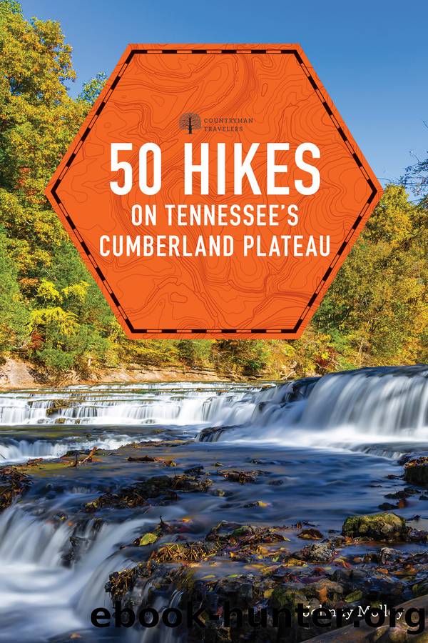
50 Hikes Tennessee's Cumberland Plateau by Johnny Molloy

Author:Johnny Molloy
Language: eng
Format: epub
Publisher: Countryman Press
Published: 2019-10-09T00:00:00+00:00
25
Byrd Lake Loop
TOTAL DISTANCE: 1.9-mile loop
HIKING TIME: 1:00
VERTICAL RISE: 40 feet
RATING: Easy
MAPS: Cumberland Mountain State Park, USGS 7.5â Crossville
TRAILHEAD GPS COORDINATES: N 35 53.915, W 85 0.017
CONTACT INFORMATION: Cumberland Mountain State Park, 24 Office Drive, Crossville, TN 38555; 931-484-6138; www.tnstateparks.com
This is a gem of a family day hike. Byrd Lake, situated in the confines of Cumberland Mountain State Park, is the centerpiece of an aquatic loop. You will start near the heart of the developed facilities, including the state park restaurant, boat dock, cabins, and swim area. Take the Pioneer Short Loop toward the upper end of the lake, traveling beneath big pines, oaks, and dense woods to reach a rock outcrop and overlook on a point. The trail continues up the Byrd Creek Valley into a quieter area of the park and into deeper forest. Finally, reach a suspension bridge that takes you to the south side of Byrd Creek. Intrepid hikers can continue farther up the valley and add 3 miles to their loop on the upper part of the Pioneer Loop.
The Pioneer Short Loop leaves the suspension bridge and passes by stone bluffs, which add a geologic touch to the trek. Enjoy more still-water lake views, then pass by a seasonal waterfall, its moving water contrasting with that of the lake. Finally, cross back over to the north bank and the trailhead on a long wooden bridge. You may want to consider adding a meal at the restaurant or a picnic to this adventure.
Download
This site does not store any files on its server. We only index and link to content provided by other sites. Please contact the content providers to delete copyright contents if any and email us, we'll remove relevant links or contents immediately.
| Camping | Excursion Guides |
| Instructional | Walking |
In a Sunburned Country by Bill Bryson(2953)
Annapurna by Maurice Herzog(2847)
How to Read Nature by Tristan Gooley(2668)
Dangerous Girls by Haas Abigail(2481)
The Lost Art of Reading Nature's Signs by Tristan Gooley(2288)
SAS Survival Handbook by John 'Lofty' Wiseman(2265)
In the Woods by Tana French(2007)
Food and Water in an Emergency by Food & Water In An Emergency(1995)
The Stranger in the Woods by Michael Finkel(1930)
Guns, Germs and Steel by Diamond Jared(1890)
Everest the Cruel Way by Joe Tasker(1829)
Backpacker the Complete Guide to Backpacking by Backpacker Magazine(1821)
Sea Survival Handbook by Keith Colwell(1797)
Ultimate Navigation Manual by Lyle Brotherton(1770)
Trail Magic by Trevelyan Quest Edwards & Hazel Edwards(1763)
Wild: From Lost to Found on the Pacific Crest Trail by Cheryl Strayed(1746)
Birds of the Pacific Northwest by Shewey John; Blount Tim;(1609)
Welcome to the Goddamn Ice Cube by Blair Braverman(1605)
Portland: Including the Coast, Mounts Hood and St. Helens, and the Santiam River by Paul Gerald(1584)
